Your local SearchUK directory
Discover the best of Central Oxford
Independent favourites, essential services, historic attractions and useful local information—all organised in one place.
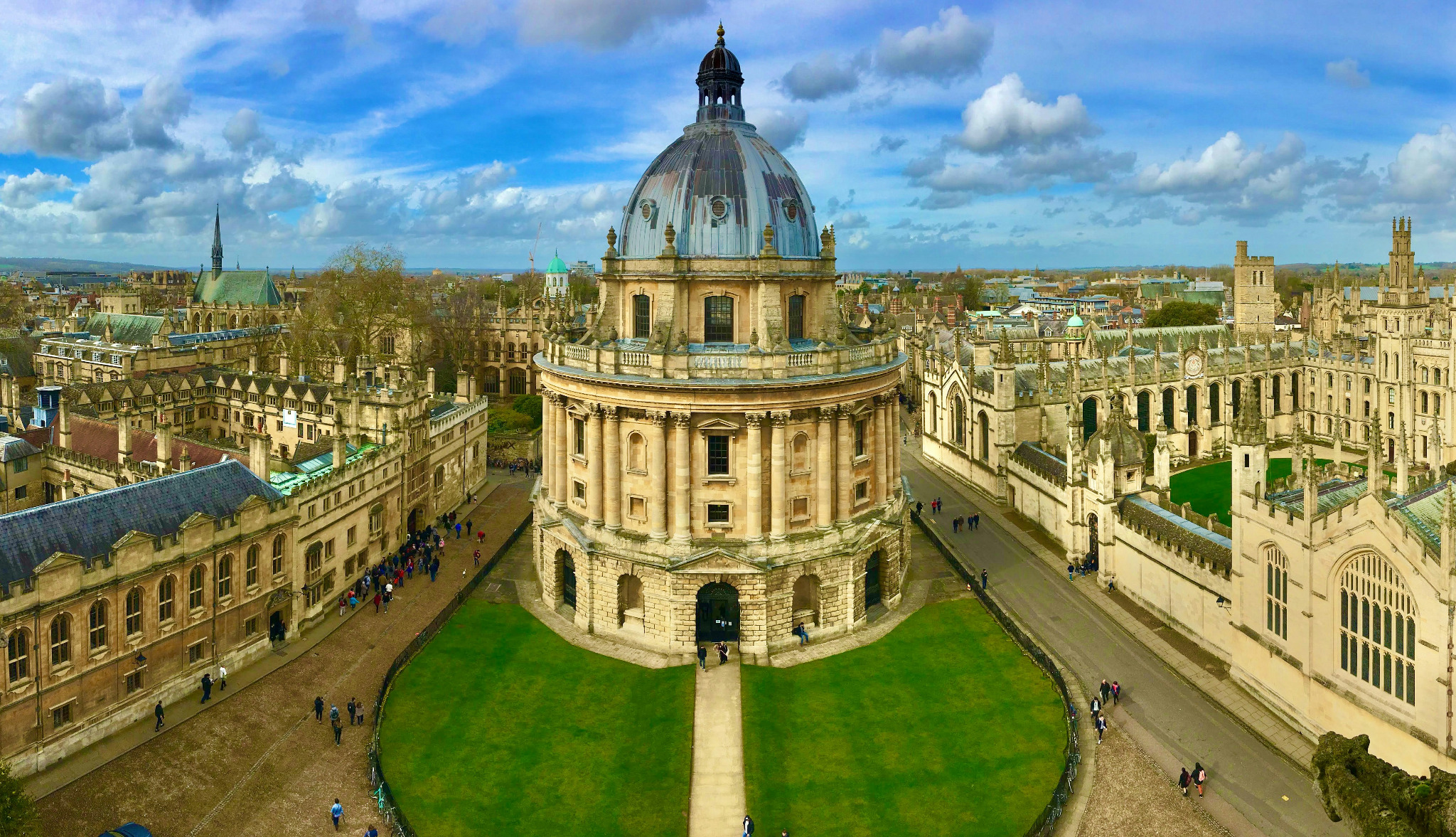
Explore the city centre
Browse Central Oxford
Your guide to the city centre
Central Oxford local business directory
Welcome to the SearchUK.org directory for Central Oxford. It covers the city centre and historic university quarter, extending north to Little Clarendon Street and The Royal Oak on Woodstock Road, and south to Folly Bridge, with the railway as the western boundary and Magdalen Bridge as the eastern boundary.
Use the directory to find restaurants, pubs, cafés, shops, hotels, museums, theatres, healthcare, professional services, parking and other useful local information around Cornmarket Street, the High Street, Broad Street, St Aldate’s, Gloucester Green, Oxford Castle, Westgate and Little Clarendon Street.
Some listings near Little Clarendon Street and the southern end of Woodstock Road also appear in the North Oxford directory to make them easier to find. The Summertown directory covers businesses farther north. Separate SearchUK directories for Cowley, Headington and Botley will cover areas beyond the city-centre boundaries.
Where can I eat or get coffee?
Browse restaurants, pubs and bars or find cafés and coffee shops.
What can I visit?
Explore museums and historic attractions or see theatre and cinema.
Where can I shop?
Find city-centre shopping, markets and bookshops.
How do I get around?
See rail, coaches and parking for the city centre.
Royal Oak to Folly Bridge